|
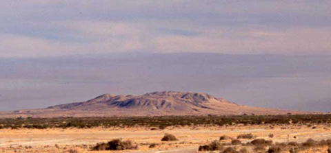
Mount Signal (Cerro Cintinela) from the North
ANZA-BORREGO SOUTH : HISTORIC TRAILS
Details are sketchy, but before Spanish missionaries and Juan Bautista
de Anza walked across this land there was communication between the Native-Americans
of the mountains (today's Kumeyaay) and those of the Colorado River.
Perhaps they traded, maybe they intermarried, and possibly they waged war
with one another. The Indians Anza met at Yuma followed him westward for
a way before turning back because they were entering the land of their enemies.
There is evidence of an Indian presence at the Yuha Basin where intaglios
testify to a reverence for the place. When Anza first reached the Yuha Basin,
it was Kumeyaay who led him to some much-needed water. In those days, trails
went from watering hole to watering hole.
Anza's route from the Yuha Basin went northwest
by way of San Sebastian Marsh, Borrego Spring, and Coyote Creek. On a clear
day, one can see the notch in the Santa Rosa Mountains that Anza called
Puerto Real de San Carlos.
Fifty years later, another explorer opened the route that became known
as the Southern Emigrant Trail. It went westward
across across the north side of the Coyote Mountains to Carrizo Marsh and
then followed Vallecito Creek, leaving the desert by way of San Felipe Creek.
By 1900, San Diego was recognizing the need for a road or railroad to the
east. This led to the building of the San Diego-Yuma Plank Road, which eventually
become Highway 80, and to the San Diego and Arizona
Eastern Railway.
|